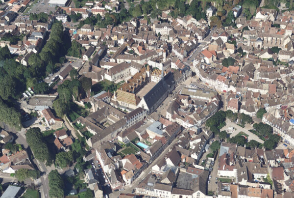
Valuation of aerial shots
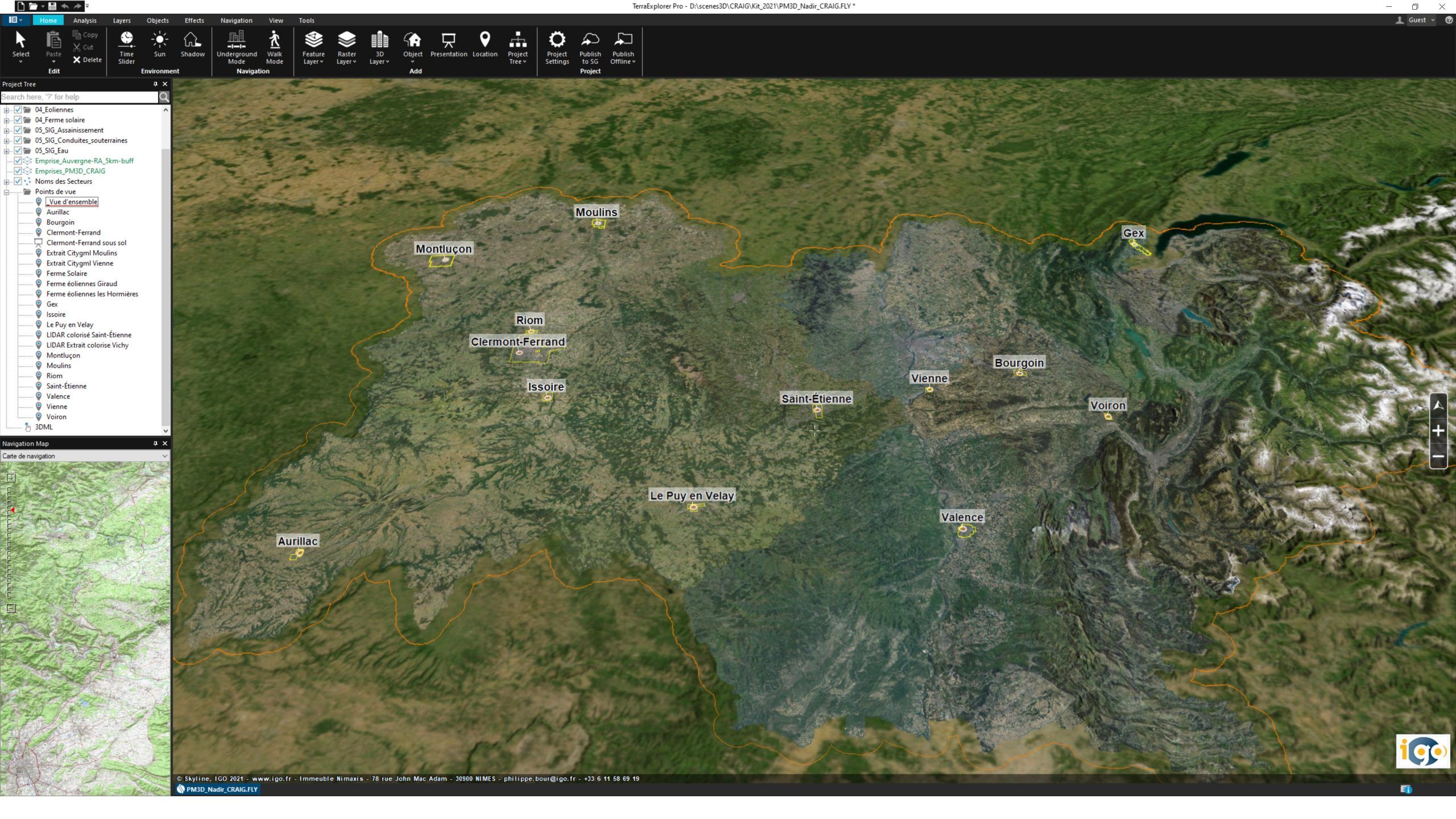
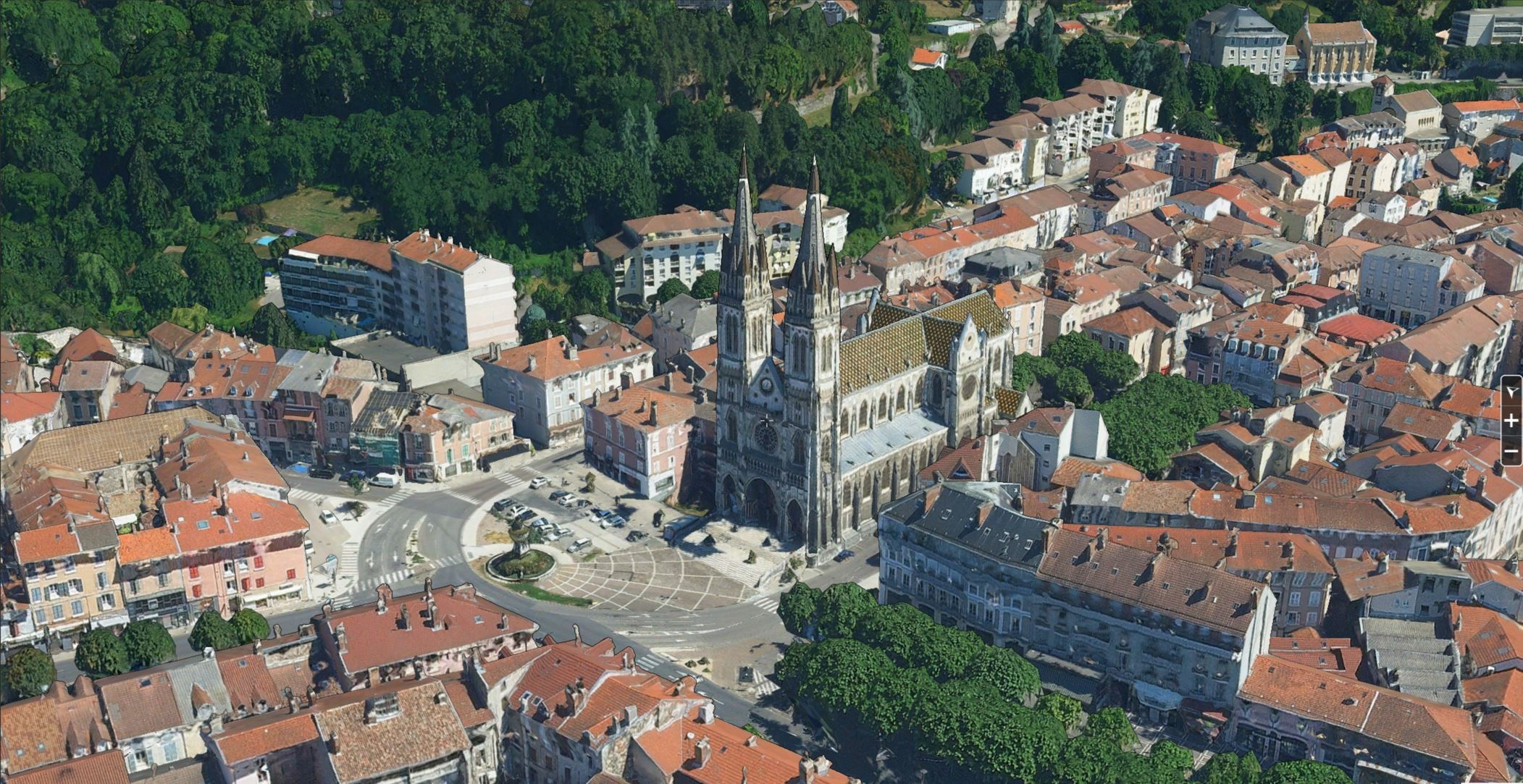
The CRAIG, Centre Régional Auvergne-Rhône-Alpes de l’Information Géographique (Auvergne-Rhône-Alpes Regional Center for Geographic Information) has entrusted IGO with the creation of a 3D map of its territory, based on 5cm resolution aerial photos taken during the PCRS (Plan Corps de Rue Simplifié) campaign.
3D modeling (3D photomaillage) of urban areas in 13 cities in the region for use as a digital twin in the service of sustainable development.
Ultimately, a scalable and sovereign 3D / 4D repository for a shared understanding of the territory and steering assistance. It will be accessible via a single Terra Explorer interface, with a real-time 3D vision of the entire region on the web, or via other tools or business platforms, either as downloads or webservices.