The 3D territory map and ESRI
In addition to the existing three-dimensional maps (3D map and 3D LiDAR map), IGO has produced a new 3D map for the SITG, offering a photorealistic view of Geneva’s territory (Orthophoto or Photomaillage 3D), the basis for the digital twin.
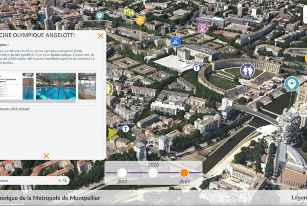
The digital twin is served online with ArcGIS Server, and users can display the Canton’s ESRI GIS layers in 3D on demand.
3D vector overlays have been superimposed on the mesh to make the map more interactive, displaying planned buildings and querying built buildings.
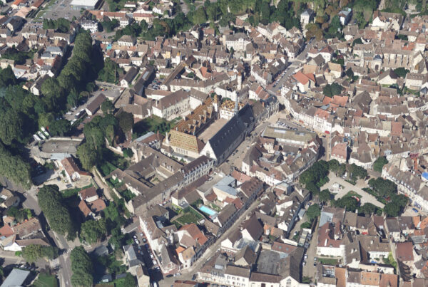
A scene representing Geneva’s territory in the form of a photorealistic 3D mesh calculated from oblique aerial images acquired in 2019. Buildings can be queried, and those in the planning stage can be displayed.
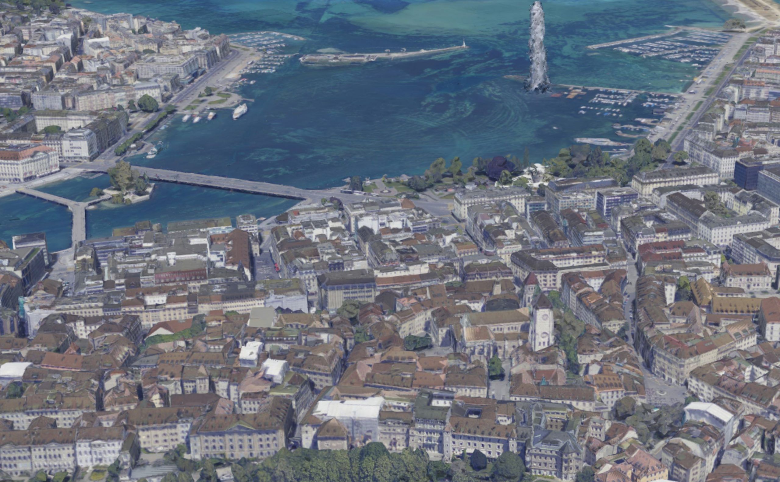
A georeferenced and textured 3D mesh was calculated from the raw nadir and oblique oriented aerial image acquisition campaign carried out in 2019. The calculation of the textured 3D photo-mesh exploits the full resolution of the aerial images, at 7 cm resolution. The LiDAR raw point clouds of the Canton of Geneva are used to automatically enhance the 3D photo-mesh.
The 3D photo-mesh is modeled with different levels of detail (I3S SLPK format). These enable the territory to be visualized at different scales, with the data displayed becoming increasingly detailed as the display scale increases.
With the exception of water surfaces (lakes and rivers), the calculation results have not been manually corrected, which explains the presence of certain artifacts or texturing problems.