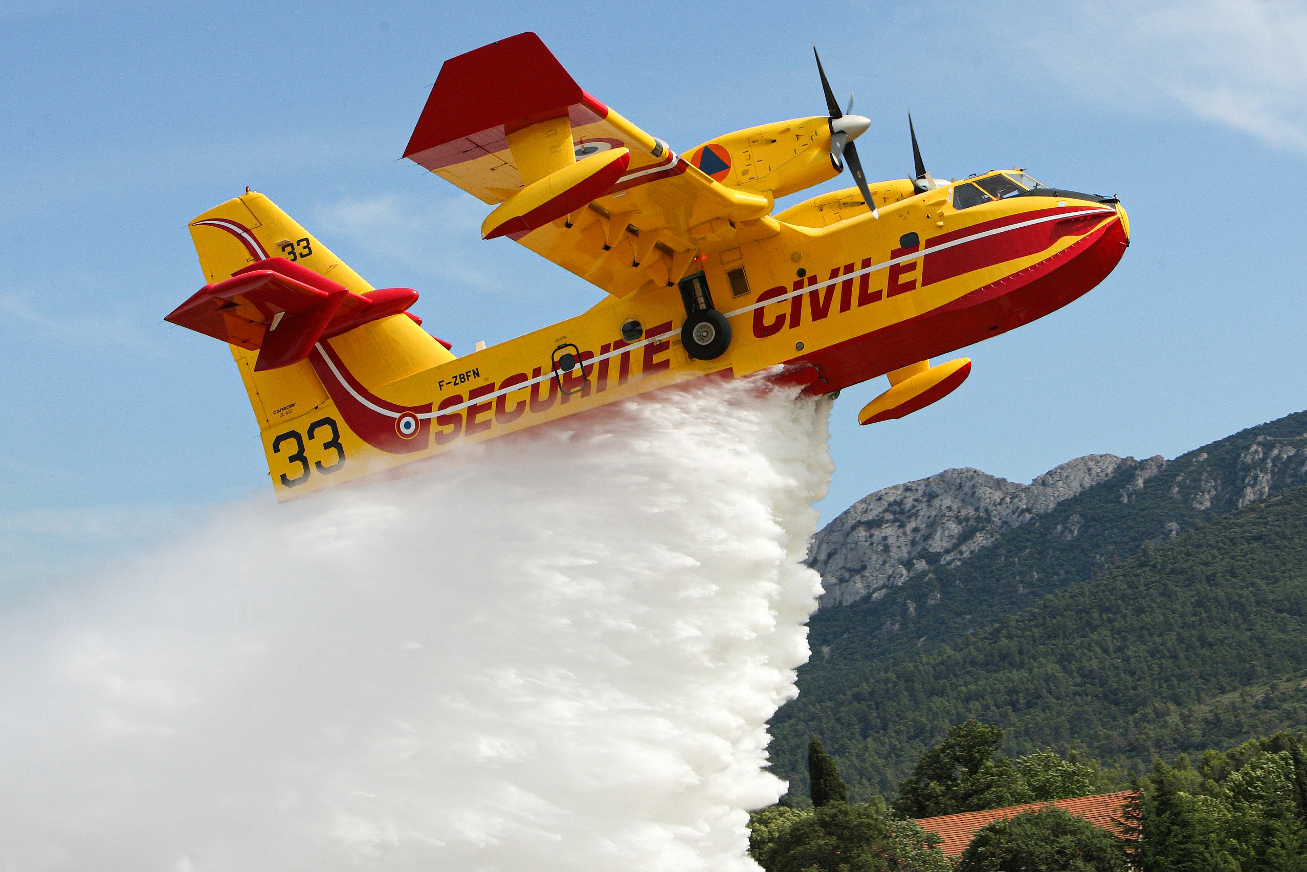
IGO has collaborated with the Sécurité Civile air base to complete the digitization of its “Water Plan” cell. This ambitious project has transformed the management of fire-fighting operations in France, thanks to an innovative technological solution.
Digitizing operational data sheets
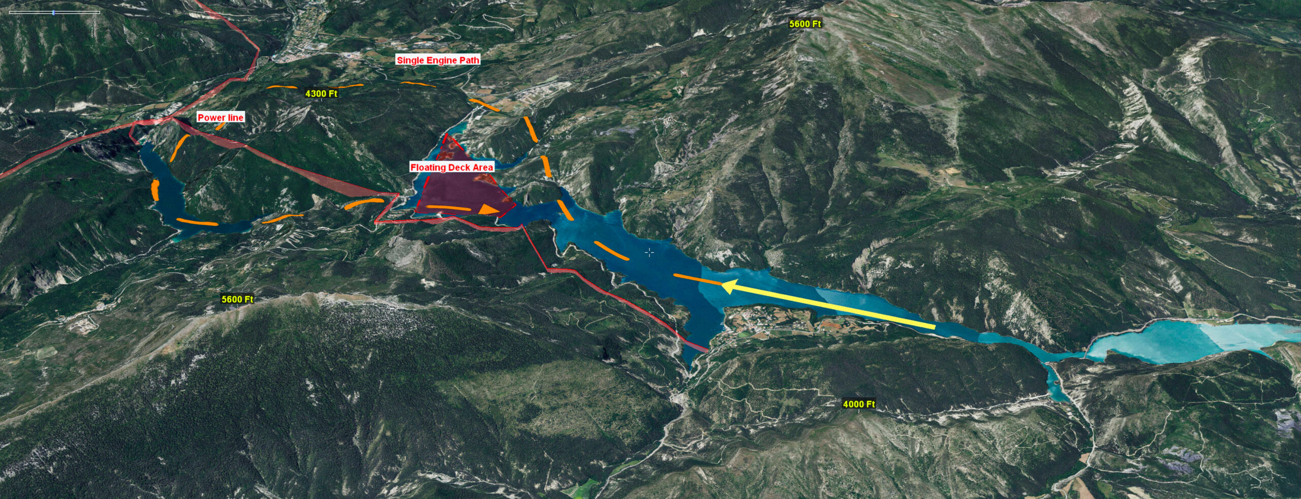
At the heart of the project was the digitization of over 150 operational data sheets. These sheets, essential to canadair operations, describe in detail the water bodies used for scooping. They include crucial information such as approach conditions, points of vigilance and safety procedures in the event of an incident.
An immersive 3D application
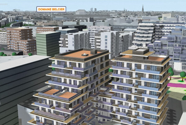
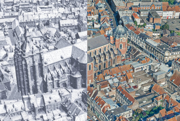
IGO has developed an immersive 3D application that operates in hybrid mode, i.e. both connected and disconnected. This feature ensures maximum resilience in the field, an essential asset for Civil Security operations. The application is optimized for use on a large-format touch screen (2.54 m diagonal), offering an immersive and intuitive user experience.
A high-performance tool for canadair pilots
Based on a 3D model of France derived from IGN databases, this application is now used by Canadair pilots for training, operational missions and practice. The precision and realism of the modeling enable pilots to prepare effectively for any situation they may encounter in the field.
The digitalization of the “Water Plan” unit has significantly improved the efficiency and safety of fire-fighting operations. Pilots now have a high-performance tool that facilitates decision-making and reduces operational risks. What’s more, this technological solution is part of a continuous modernization and innovation drive by the Sécurité Civile. This project is a perfect illustration of IGO’s commitment to innovation and safety.