The IGO – GEOFIT – SINTEGRA consortium is supporting Territoire d’Énergie de l’Orne in the creation of a departmental 3D digital twin. This project is part of a process of digital transformation of the region, with the aim of reinforcing the efficiency of public policies and supporting the energy transition.
Project components
High-resolution airborne acquisition
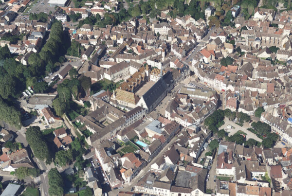
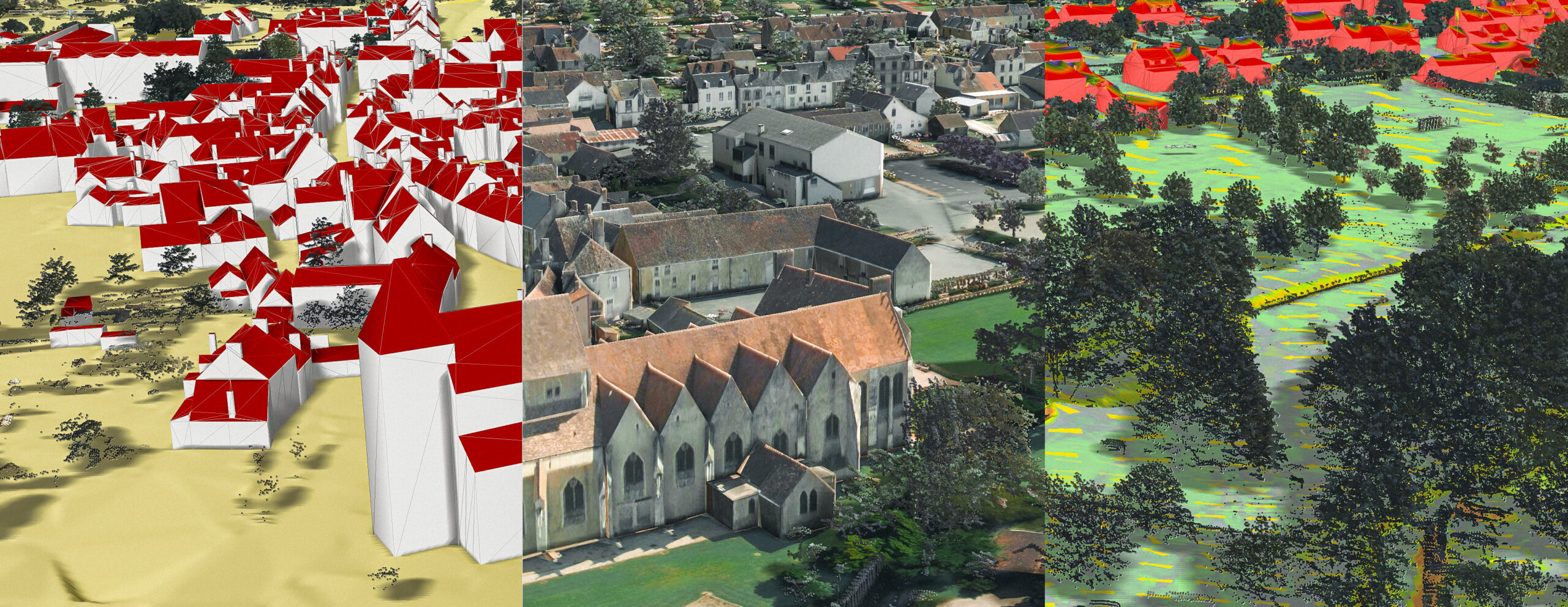
The project includes vertical and oblique aerial photography. This data is used to create an accurate, detailed representation of the territory.
Creating a digital twin
The digital twin is structured in CityGML format, an open standard for the representation of 3D urban data. A realistic 3D photomaillage will be generated from the aerial shots, conforming to PCRS specifications and oblique complements.
Solar cadastre
A solar cadastre will be produced for the entire area covered. This tool will make it possible to assess the solar potential of roofs and plan the installation of solar panels, thus contributing to the energy transition.
Sovereign, interoperable 3D platform
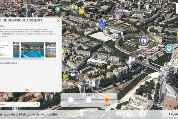
A sovereign, interoperable 3D platform will be implemented to develop uses and ensure open data distribution. This platform is compatible with OGC (Open Geospatial Consortium) standards such as WMS (Web Map Service) and 3D Tiles, as well as with proprietary formats (ESRI, I3S, etc.).
The benefits of Orne’s digital twin
Energy transition
The digital twin is an essential lever for the energy transition. It enables renewable energy projects to be simulated and optimized, energy consumption to be reduced and infrastructures to be planned sustainably.
Intelligent territorial management
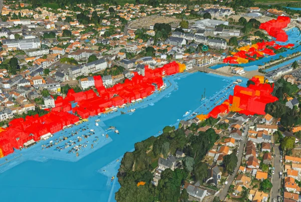
Thanks to accurate, up-to-date visualization of the territory, decision-makers can make informed decisions on land-use planning, natural resource management and risk prevention.
Expanded access to 3D data
The digital twin provides greater access to 3D data for communities and citizens. This promotes transparency and citizen participation in land management.
The Orne digital twin project, led by the IGO – GEOFIT – SINTEGRA consortium and Territoire d’Énergie de l’Orne, represents a major step forward in territorial management and energy transition. By integrating cutting-edge technologies and promoting access to data, this project paves the way for more intelligent and sustainable management of the region.