Predict Services
Why does Predict Services use IGOCLOUD3D?
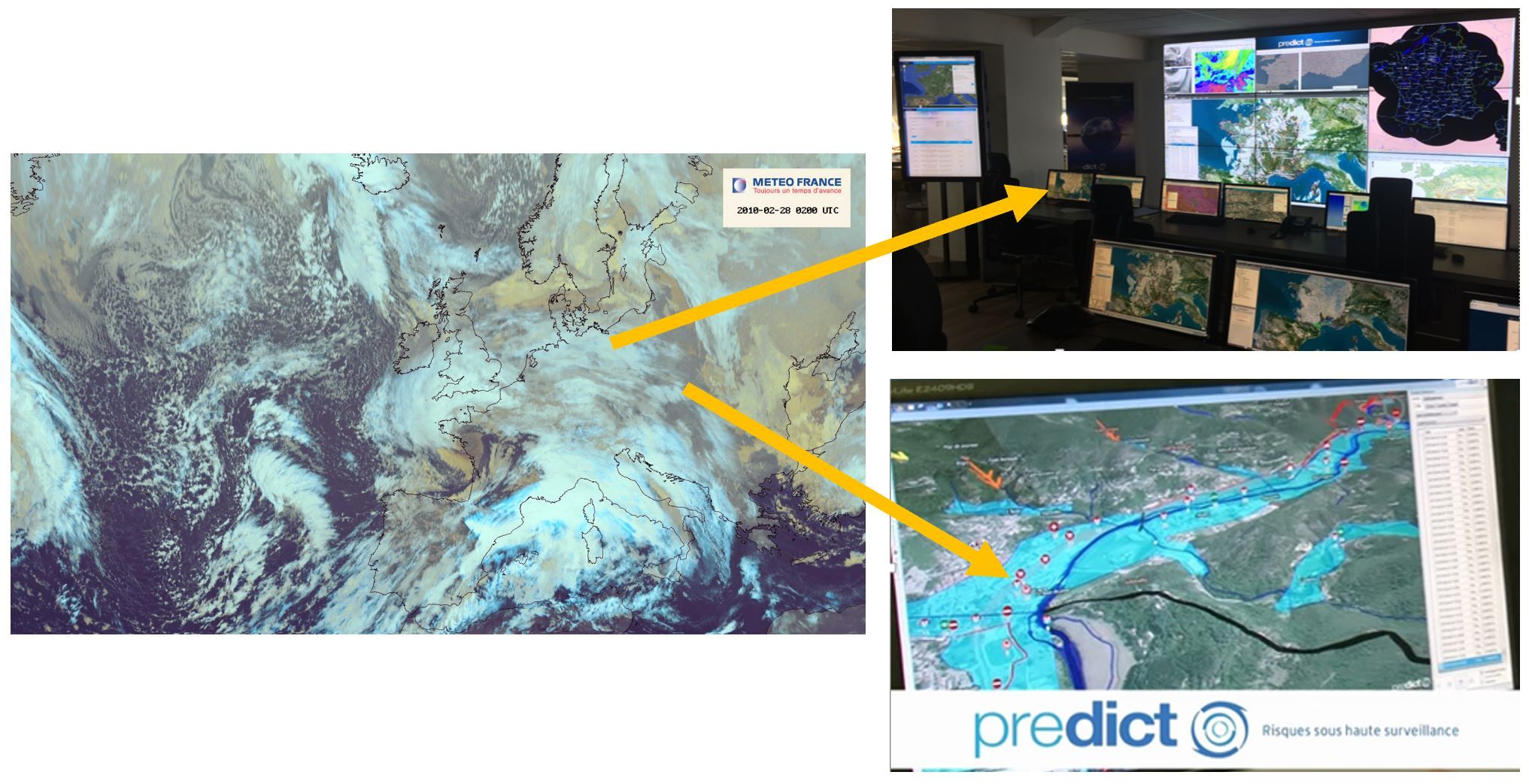
How do you manage Big Data in real time: billions of items of weather and geospatial data?
Predict Services, the world leader in risk prevention, with 30,000 local authority subscribers in France and over 250,000 agreements signed with companies.
To create its predictive models, Predict Services uses IGO’s 3D Cloud to :
- Visualize the whole world in 3D with IGN reference frames for France and Airbus Defense and Space.
- Cross-reference historical climate data with real-time radar data from Météo France
- Risk and flood simulation.
- Display information on demand – local data layers, historical information, etc.
Predict Services thus alerts its subscribers by SMS 24 hours a day with the best possible prediction, and supports them in their Communal Backup Plan.
Highly demanding cloud service with very high levels of availability and 3D streaming performance
ARTELIA
Artelia supports its major customers in planning and sustainable development.
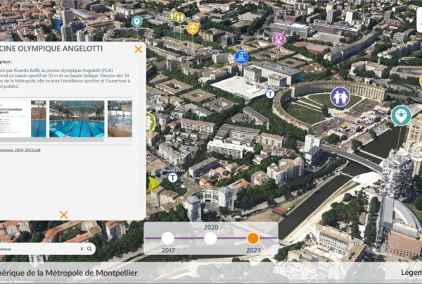
For decision support and communication, Artelia combines various massive data (heritage, GIS, BIM, 3D territories, etc.) with its analyses.
Artelia manages developments – buildings and infrastructure – with its business tools, and visualizes and interacts in real-time 3D on IGOCLOUD3D.
Over the whole of France in 3D, Artelia can visualize its BIM and lidar models (clouds of billions of points).