Technology at the service of local energy and environmental issues
The deployment of a digital twin and a high-definition solar cadastre for the Vendée department complements the existing Géo Vendée platform. This public interest project, technically coordinated by GéoVendée and Vendée numérique, is subsidized to the tune of just over one million euros by the Banque des Territoires, and supported by the French government as part of France 2030’s “Démonstrateurs d’IA frugale au service de la transition écologique des territoires” (DIAT) scheme.
This program was born out of the need to accelerate the ecological transition of territories, and in this case the photovoltaic sector, to meet the ambitious target of 100 GW installed in France by 2050.
The Vendée department is harnessing technology to support environmental projects, accelerating the solarization of its territory.
This first use case developed on the basis of the digital twin is a program piloted by the Syndicat d’énergie de la Vendée (SYDEV).
The advantages of the departmental solar cadastre:
- Homogeneity of studies: standardized data for greater consistency in assessing solar potential
- Decision support for public policy and energy planning
- Data sharing to foster cooperation between local players
- Better information for residents
- Positioning the public service as a trusted third party on the subject
This collaborative initiative is supported by the Vendée public sector:
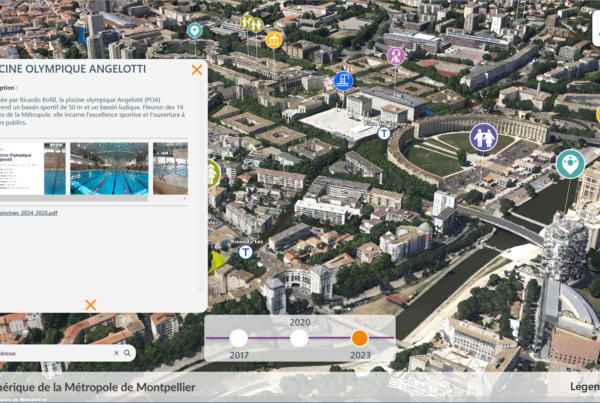
The digital twin, a reflection of a region and its ambitions
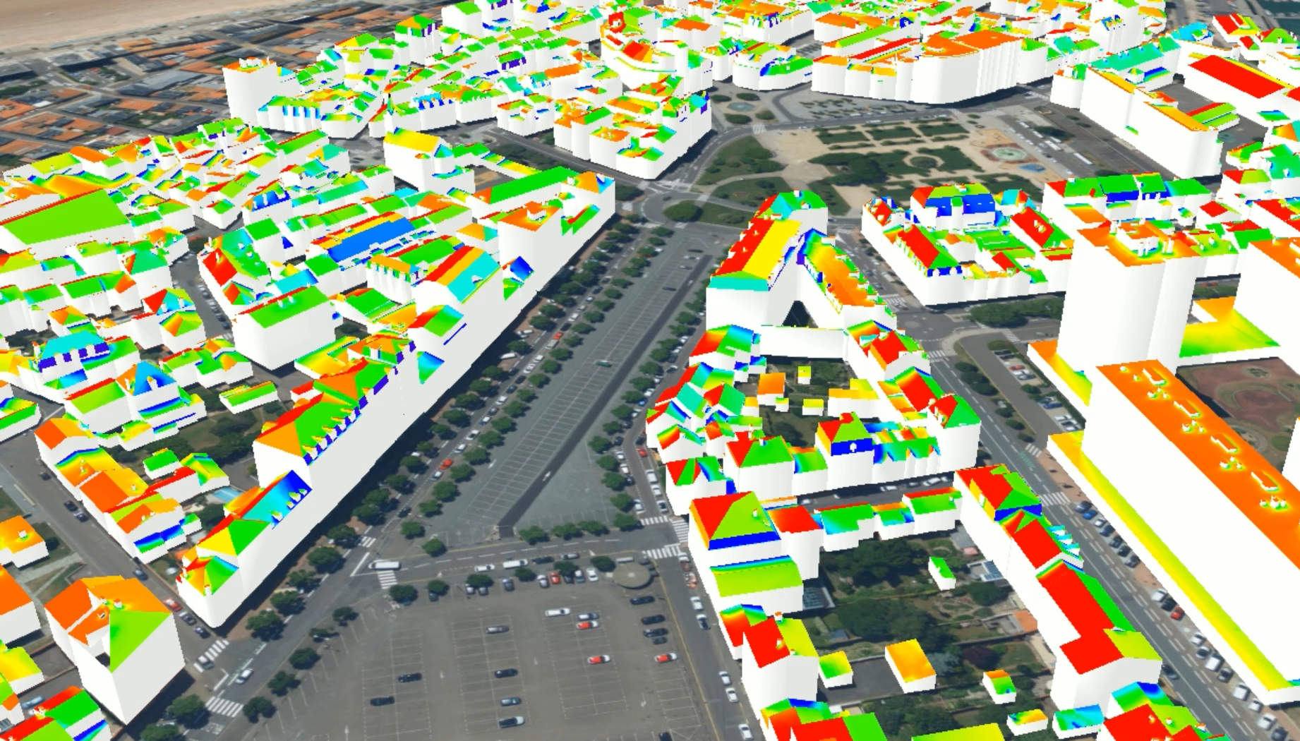
The digital twin is a highly accurate virtual representation of the territory, created using artificial intelligence (AI) that is trained to recognize whether a datum is a building, vegetation, telecom supports or soil, and to do so very quickly. Backed up by an innovative data hub, capable of capturing data of all kinds (IOT, video streaming, Open data, Close data…) and contextualizing it in the digital twin, it is proving to be a relevant tool in mastering the challenges of climate resilience and, in particular, mapping a territory’s solar potential.
To support the Vendée department in this approach, IGO produced a 3D photomaillage of the entire department, enabling simulation of the solar cadastre through precise knowledge of all buildings, and also supplied a 3D software platform.
GEOFIT, IGO’s parent company, was involved in the project as a technology partner for :
- production of 3D building models with a very high level of detail
- characterizing roofing materials using artificial intelligence
- classification of the HD LIDAR cloud using AI to distinguish the nature of surfaces: soil, vegetation or buildings
On the basis of this data, and taking into account meteorological statistics, IGO calculates the solar potential of all the soil and roofs in the Vendée.
Solar irradiation data, useful surface areas and project types (self-consumption or energy resale) are then integrated into an application co-developed by Géo Vendée and SYDEV. This enables users to be finely-tuned in their solar panel deployment projects, and consequently to promote solar energy production in the Vendée.
The benefits of a digital twin:
- Advanced visualization and precision enable reliable understanding and assessment of energy potential,
- The virtual environment can be used to test various sustainable energy development scenarios,
- Integrating data from different sources improves the quality and relevance of decisions.
”The digital twin is more than just a 3D model of a territory. It becomes a collaborative ecosystem serving the ecological transition, enabling local authorities to anticipate, simulate and optimize energy projects, while engaging citizens in a shared, sustainable dynamic.
Cédric SEIGNEURETDirecteur Géo Vendée