Our solutions transform land management through immersive visualization, advanced integration of massive and heterogeneous geospatial data, and powerful analytical tools. Leveraging artificial intelligence and cutting-edge technologies, IGO facilitates the planning, management and optimization of territories with interactive and scalable digital twins.
The digital twin, a reflection of a region and its ambitions
Discover the power of the digital twin for intelligent management and informed decision-making.
Digital twin use cases
Simulation & planning
How can I get a concrete simulation of my project in its real environment?
Operations management
How can I optimize my asset management?
Communication & decision support
How can I promote and share my heritage, my project and my territory with the general public?
Safety
How can I supervise and interact with my security devices to monitor a site or territory?
Crisis management
How can you quickly understand a situation thanks to a hypervisor that centralizes data?
They put their trust in us and push us to constantly innovate.
Local authorities
Companies


Events calendar: let's meet!
Digital Twin | BIM World
April 1 to 2, 2026
Paris
(Paris Expo – Booth C80, Village “Jumeau numérique de le France et des territoires”)
Referrals
The latest news from IGO
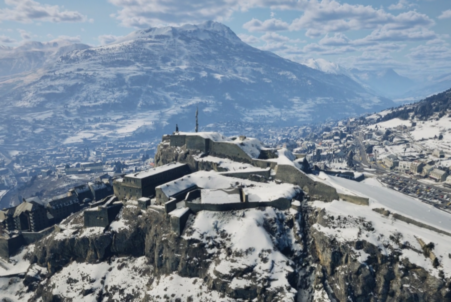
The Digital Twin of Alpine Ski Resorts
The Digital Twin of Alpine Ski Resorts
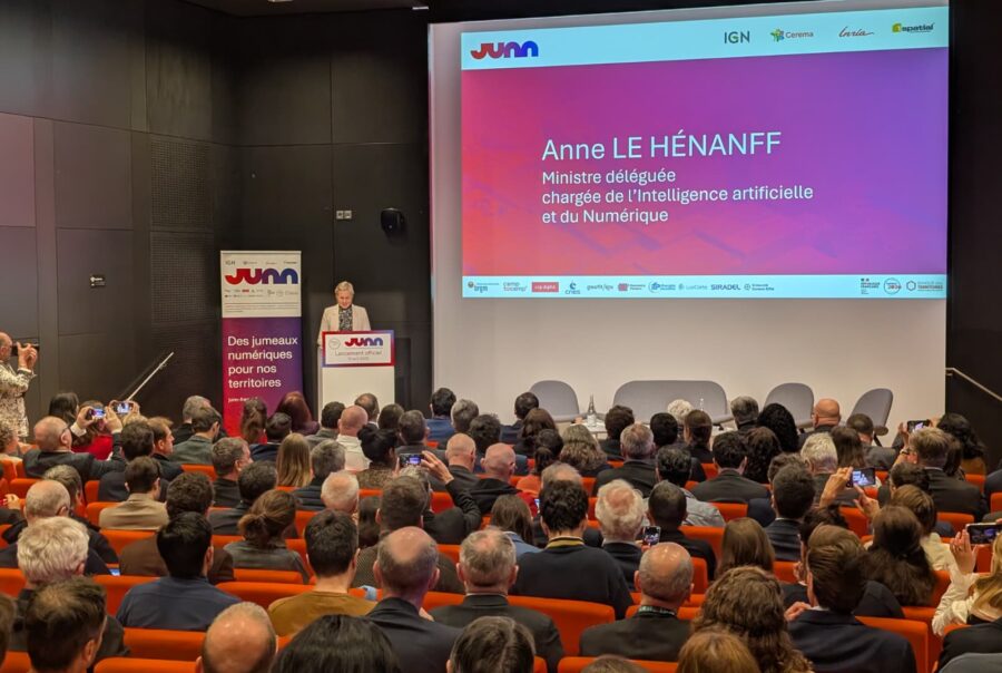
Launch of JUNN, France’s digital twin
Launch of JUNN, France’s digital twin
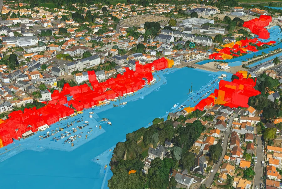
The digital twin at the service of the Pays de la Loire region