
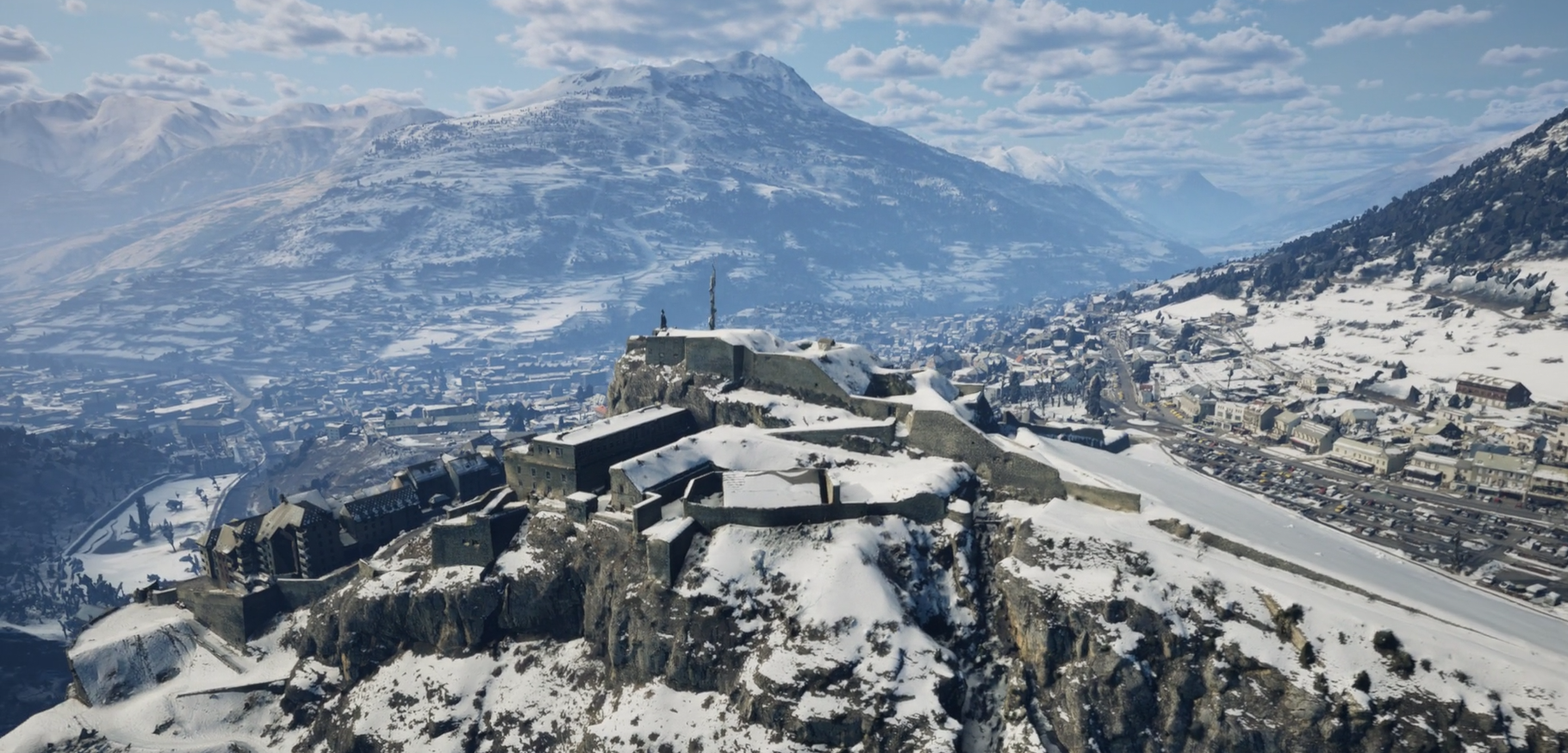
Serre-Chevalier and Montgenèvre, with 87 km² of ski areas, have been recreated in 3D in preparation for the 2030 international winter sports competitions.
In 2030, Serre-Chevalier and Montgenèvre will host an international sporting event, which will require massive construction projects, planning for spectator traffic, designing infrastructure, and protecting the environment.
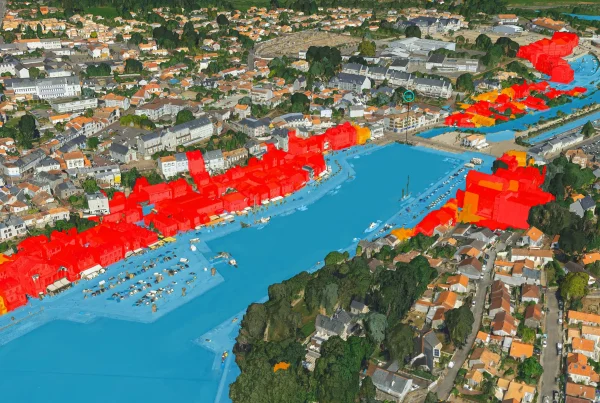
To meet this challenge, the Région Sud has commissioned IGO and SINTEGRA, subsidiaries of the GEOFIT Group, to produce aerial imagery and a very high-resolution 3D* model of the two ski areas with the goal of creating a digital twin: a comprehensive, high-precision virtual model that can be used by all stakeholders involved in preparing for the competition.
Beyond the digital twin: decisions
A 3D digital twin is not an end in itself. For the South Region and the event’s organizing stakeholders, it serves as a decision-making tool at every stage: in the lead-up to the event, during the event itself, and for the sustainable management of the region:
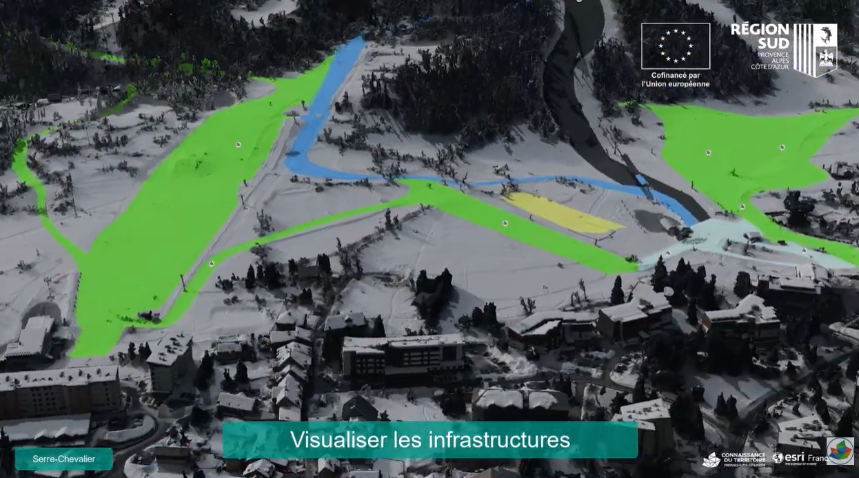
- Design and validate slope and infrastructure layouts.
- Manage the construction work using a centimeter-accurate site reference system.
- Simulate the logistics organization and anticipate material flows at the sites.
- Ensuring safety: modeling high-risk areas, simulating safety measures, and anticipating critical situations.
- Managing the region for the long term: climate change, preservation of natural areas …
Exceptional data acquisition
The quality of a digital twin depends first and foremost on the quality of the source data.
The Region had a clear requirement: a model captured under real winter conditions, with snow cover, just as the athletes and teams will experience it during the competition.
SINTEGRA, a subsidiary of the GEOFIT Group specializing in aerial data acquisition, took on this challenge. On February 15, 2026, the day after significant snowfall, its on-call team took off. The window of opportunity was narrow: they had to act quickly to take advantage of these ideal snow conditions and maintain a solar angle greater than 20° to minimize shadows cast on the Alpine slopes.
No second chances. In less than six hours of flight time:
From spatial data to modeling
Using the acquired data, IGO—a subsidiary of the GEOFIT Group specializing in 3D modeling and digital twins—generates the 3D mesh.
The result: a complete, textured geometric reconstruction of both areas, covering both the ground and above-ground features: topography, ski lifts, buildings, sports facilities, and vegetation. Delivered in all standard interoperable formats, the model integrates with all GIS and line-of-business platforms used by the Region and its partners.

3D Models of the Serre-Chevalier and Montgenèvre Ski Areas

Discover the use cases for the digital twin
A video produced by the South Region and Esri
IGO and SINTEGRA: two complementary areas of expertise within the GEOFIT Group
Together, the two subsidiaries of the GEOFIT Group cover the entire process, from capture to delivery of a usable, interoperable 3D digital asset that can be integrated into end-users’ platforms.
Are you planning a digital twin project or an aerial data collection project?