Technology at the service of local energy and environmental issues
In April 2022, IGO will be offering the GEOSPATIAL 3D SDK for UNITY to navigate a virtual globe and visualize/cross-reference massive, multi-source 3D geographic data.
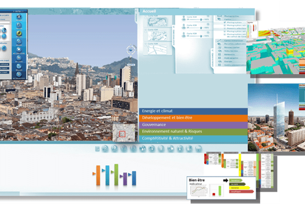
It connects to existing data servers and adds value to 3D geospatial data by harnessing the power of Unity’s 3D rendering engine.
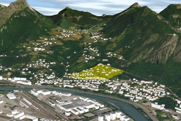
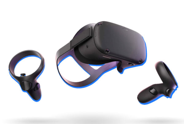
It can also be used to integrate 3D geospatial data into virtual, augmented or mixed reality applications. You’ll visualize 3D photogrammetric content over large territories in high resolution with great realism on all types of hardware (PC, Mac, Linux, SmartPhone, Tablet, VR, AR,…).
It’s an innovative and unique product from IGO R&D. It is open to exchange standards (OGC -flux WMS/WMTS/WFS, 3DTiles Cesium, Vector Tiles, Quantized Mesh, etc.).