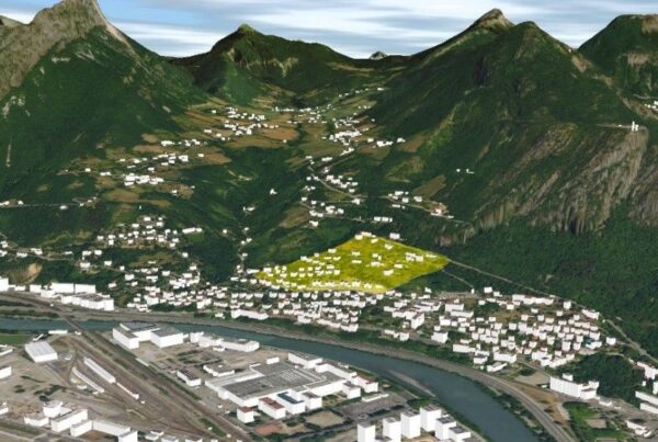
Visualize and analyze massive 3D data even more easily
With the new 2020 versions, one click is all it takes to integrate and contextualize your BIM projects in your digital territory.
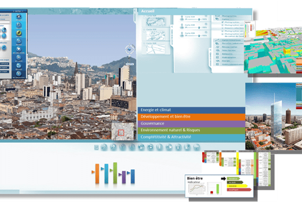
Cross-reference and transform your data from sensors and connected objects (IoT) into decision-making tools.
Share your information easily and securely on the Internet, visualizing it in real-time 3D directly from your web browser.
You can visualize your data, your territory, your projects, carry out analyses, import other layers of information or webservices, carry out GPS tracking and simulations independently from your PC or on the move from your Smartphone.
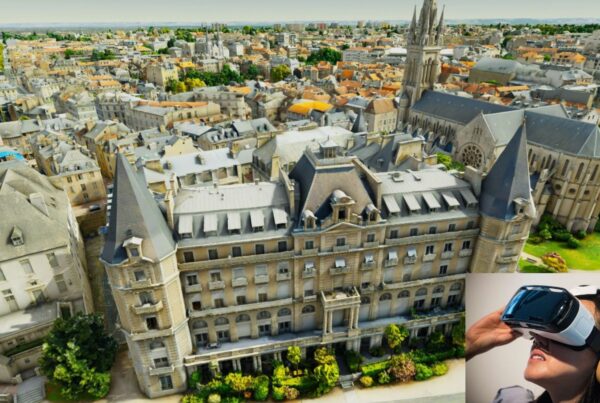
Immersive Visualization, Virtual Reality
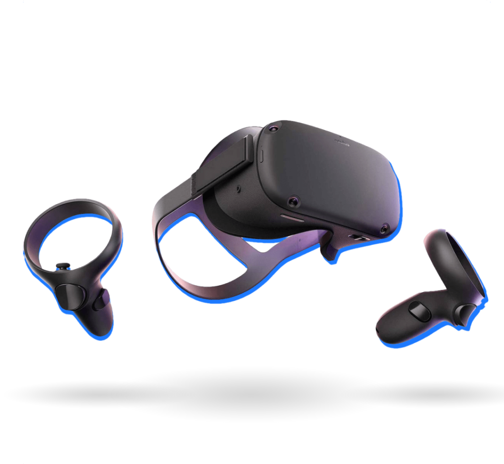
Terra Explorer natively supports the Oculus Rift VR headset.
No need for development or heavy installation, you can immersively visualize your territory, projects, buildings and infrastructures.
Find out more about Skylinesoft
Find out more about Terraexplorer-desktop