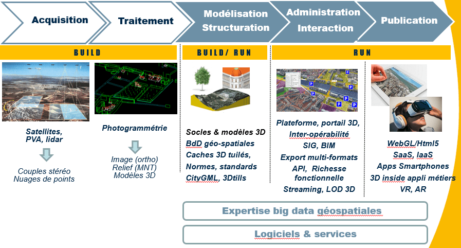
POSITIONING OF IGO IN THE VALUE CHAIN OF THE MODEL / 3D PLATFORM
The collection and processing of aerial, satellite or terrestrial data is carried out by IGO partner providers (IGN, Geofit, Aerodata, …) or provided by our customers.IGO brings its strong expertise in data structuring to exploit these in 3D with extended functionalities and publish it with performance on the internet and on the move.IGO solutions facilitate the display of 3D data in business solutions or platforms. Associated with Artificial Intelligence, they improve digital representations of territories and its predictions.
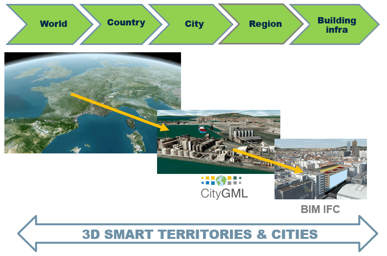
FEDERATE, CROSS AND CONTEXTUALIZE MULTI-SCALE DATA WITH A GLOBALE VISION
3D data and geographic information expertise
- Data structuring / tiling for 3D performance
- Creation of Photomesh or ORTHO 3D (3D mesh models)
- Webmapping application development, 3D platform, interactive models, interfaces, tools and 3D modules
- Training, advice and associated services import / export of data, mastery of platforms such as Rhino, Rhinotérieur / City, and FME
IGO ADDED VALUE
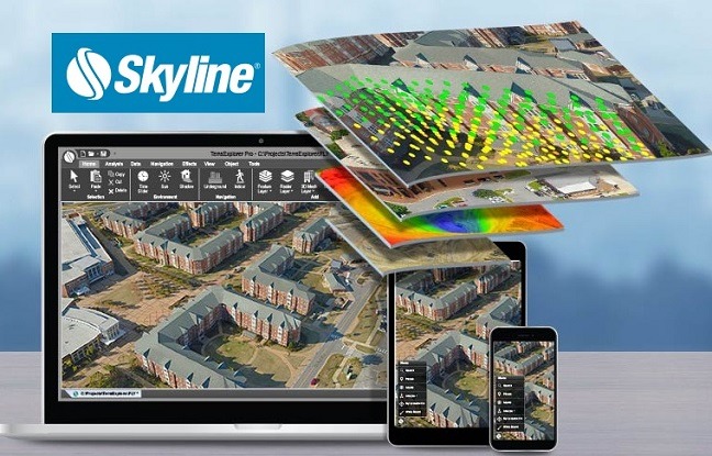
State-of-the-art technologiesIGO integrates Skyline technology, the world leader in real-time 3D.Skyline, historic partner of IGO, publishes the Terra Explorer software suite. This inventor of 3D streaming is the world reference for 3D modeling and visualization of large territories and digital globes.
SKYLINE software provides:
- Durability, robustness, support, scalability, GIS interoperability and geospatial databases
- “Big data spatial” capacity, Streaming, LOD, Workflow, multi sources & scales
- Autonomy, complete software suite to build your sovereign 3D platform
- API with functional richness, functional level of the free viewer without license
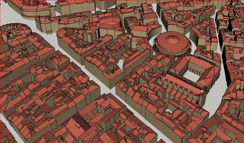
Rhinoterrain and Rhinocity
IGO is an integrating partner of Rhinotérieur :Rhinoterrain :
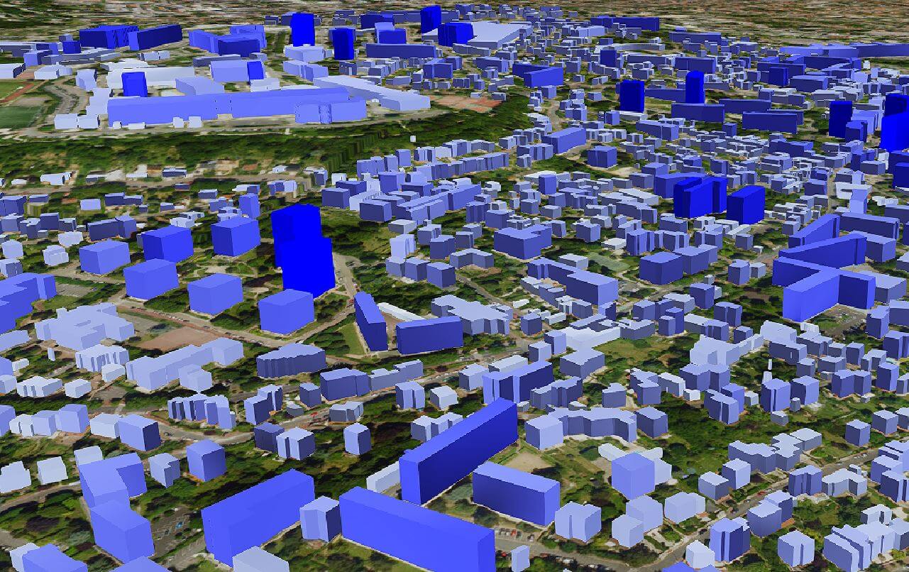
- Ability to produce dense and extensive 3D meshes
- Texturing of 3D models from aerial photos
- CityGML development
3D Opensource Cesium and Three.JS Technologies
IGO develops and publishes IGOWEB3D web visualization software without plugin to the Webgl / html5 standard.
And offers the creation of high-performance 3D tiles caches (?) and developments based on Opensource3D with an API rich in functionalities for 3D displays in business tools or platforms.
Virtual and Augmented reality
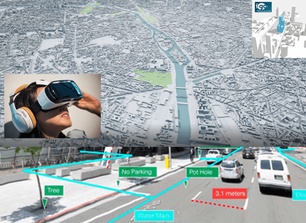
IGO develops VR and AR applications on Opensource Unity3D technology Unity3D
The applications integrate the geographic information layers (GIS) and the 3D models in base and interact with the information associated with buildings, sensor, (attributes, KPI …).


