THE MISSION OF IGO
‘Reveal your territories’ the baseline of the IGO logo when it was created sums up the company’s mission: to facilitate the sustainable development of territories – Smart 3D territories.IGO offers strong expertise and 3D geospatial technologies to facilitate access to increasingly massive technical data, enhance it and transform it into decision support and application.IGO helps its customers in their digital transformation to meet the major challenges of SmartCity, climate change or its security.

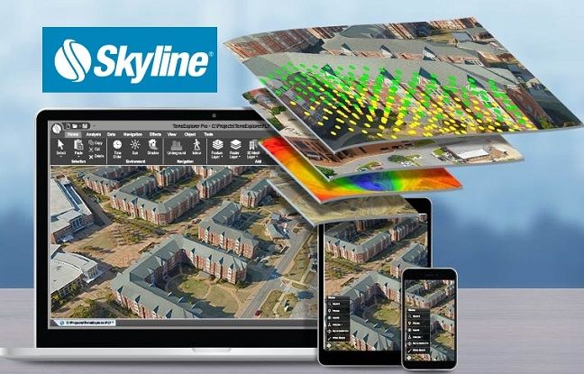
IGO has developed a very strong partnership with the Skyline editor which offers Terra Explorer. It is the most efficient solution on the market for real-time 3D visualization of large territories (from all over the world to the city) and federating / crossing big geo-spatial and IoT data while guaranteeing their security. Innovation is at the heart of IGO’s strategy, which today offers solutions based on open source components and applications in virtual and augmented reality. IGO invests in R&D in consortium of companies to meet demands for global solutions in the fields of Smart City, security and resilience to climate change.

The Team brings together expertise and a knowledge that cover the entire value chain of the digital model / 3D cartographic platform.Data with very strong skills in topography, geographic information and the structuring of heterogeneous and massive geographic data,the development of real-time 3D cartographic applications: Collaborative platforms, interactive digital models, tactile interfaces, Smartphones, Virtual & Augmented Reality.

Our customers are our greatest pride. These are our references and the best recognition of our values. They share our strategic vision and appreciate our unfailing commitment alongside them, our flexibility and agility to adapt and react to their needs. They push us to innovate and renew their confidence in us since the start of our relationships.
A network of partners for a better overall approach to the challenges of our customers: IGO is a partner of the BPI within the framework of its investments in R&D and Innovation. IGO is developing its network and its partnerships by investing in competitiveness clusters, institutions and associations: SafeCuster, AquaValley, Aerospace Valley, Space4Earth, Afigeo, OpenIG, System Factory.
Creation of IGO by Jean-Louis Marguier and Philippe Bour.
“It is our complementarity and a shared vision of the preponderant place that digital and 3D mapping was going to take which pushed us to undertake”.
The Occitanie region, the Alpes Maritimes department, Monaco, Nîmes, Nice Métropole, RTE have put their trust in IGO and remain major partner customers today.
IGO manages geospatial big data and 3D mapping for Predict Services, leader in predicting climate risks and flood alerts.
- 24-hour real-time 3D geo-spatial platform infrastructure (IaaS) very high availability: 3D world mapping with weather data.
RTE entrusts to IGO its studies and experiments of new innovative applications:
- Study of the impact of vegetation on eletrical lines from helicopter-borne lidar surveys on HV lines (fire risks), navigation and maintenance on a tablet aboard a helicopter for line maintenance,
- Electrical substation simulation in Virtual Reality for training in technical interventions in live substations.
IGO alongside EDF on the SMART CITY
- EDF chooses IGO to develop its HMI interfaces and 3D visualization (in open source technology) of its Urban Planning platform for energy consumption simulation as part of its contract with Singapore.
- Partnership strengthened in 2018-2019 with EDF / Eifer in Karlsruhe for the evolution of the platform under a contract with Moscow combining applications of Immersive and Augmented reality.
1st reference in the field of security with the implementation of a monitoring platform for a sensitive site.
IGO is piloting a group of large companies to cover the entire value chain of the 3D digital supervision platform.
SafeCity
Thales, leader of the Future Innovation Program (PIAVE) SAFECITY chooses IGO for the development and integration of 3D displays of its SAFE Manager platform as part of a consortium of 18 companies.
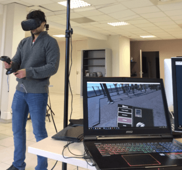
IGO is developing expertise in Virtual and Augmented Reality on open source technological components.
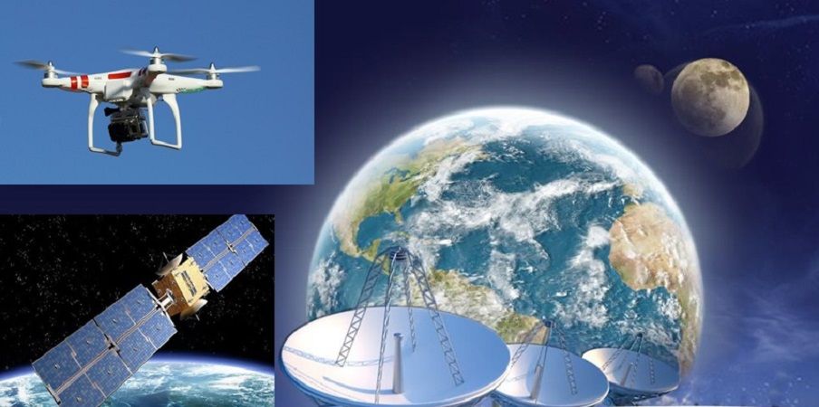
WATER RESOURCE and Climate ChangeIGO studies and develops the HYDROPORTAL3D conceptual platform for intelligent management of water resources in watersheds as part of a state-subsidized SPATIAL PIAVE: cross-referencing Copernicus Earth observation data with data repositories terrestrial and in situ sensors.
IGO strengthens its position in space and its partnership with the Occitanie region.
And signs an agreement with Inspace as part of the Readynov program for the development of a tourism offer for communities integrating spatial data.Vinci Resallience entrusts the creation of its study platform crossing weather, climate and world map data to IGO.
IGO offers its fullweb 3D visualization solution (without downloading software with the webgl / html5 standard) Terra Explorer on Cesium opensource components. Operational solution in 2019 with many customers.
IGO offers solutions to help the resilience of territories to climate change and strengthens its position in the Smart City with communities and major players managing networks. After Bordeaux, Nice, Montpellier, in 2019 Lyon, Marseille and even Lille among the largest cities in France are bringing their confidence to IGO.
With its 3D Photomaillage solution, IGO responds to the strong demand of large cities who want realistic digital visions of their territory that can be achieved quickly from PVA (aerial photography).

