FACILITATE DECISION SUPPORT AND ACCESS TO TECHNICAL DATA
-

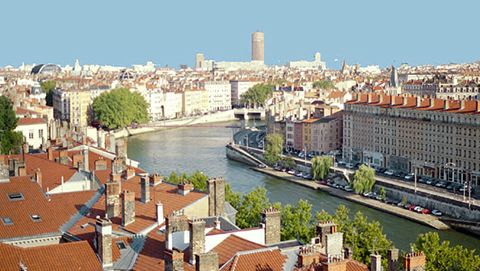
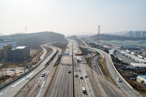
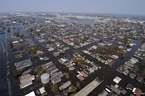
3D territory
Model, merge and contextualize
-

INTEROPERABILITY PLATFORM
Federate, visualize, cross and share big data
-

IGOGLOBE & CLOUD3D
Easily and quickly share / disseminate datas
-

IGOWEB3D
View in one click on the web
-

VR – AR
Virtual & Augmented Reality
-

PHOTOMESH3D
Rapid modeling of large areas – PHOTOMESH / ORTHO 3D
THE GLOBAL 3D GEOGRAPHIC VISION OF TERRITORIES AND ITS DATA TO KNOW THE INTERACTIONS BETWEEN ISSUES AND DECISIONS
CREATION DATA
Acquisition
Data Processing
STRUCTURING MODELING
Contextualize issues, projects and information
3D territory, Photomesh3D
ADMINISTRATION INTERACTION
Federate and cross in real time multisource data, interact
Platforms & 3D API
SHARE AND DISTRIBUTE
Share and distribute
Web, portals, mobiles, business platforms, virtual and augmented reality

EVOLUTION AND SCALABILITY

WEB AND MOBILE ACCESSIBILITY IN REAL TIME

INTEROPERABILITY