IGOWEB3D
View in one click on the web

IGOWEB3D is the fullweb interactive 3D visualization solution, integrated into your browser without downloading software (HTML5 / WebGL standard).
IGOWEB3D is built on open source components / libraries:
- Cesium for TerraExplorer for Web (TE4W): 3D globe with SkylineServer optimized tiled covers, (3Dtills, vector and models in 3dml format)
- Three.js for TerraWeb3D edited by IGO: local planar coordinates with tiled server caches.
IGOWEB3D supports all browsers and integrates into any platform or business solution:
- Windows, Mac, Linux,
- Chrome, Firefox, Safari, Edge, Opera, IE11
- IOS smartphones & tablets, Android
Multi-source data display:
- Terrain3D
- IGOGLOBE3D
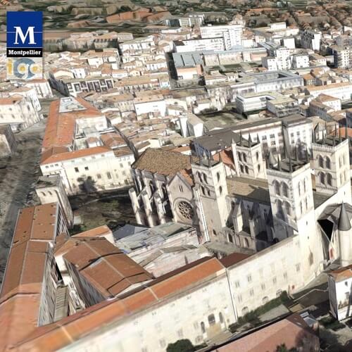
- Photomaillage or ORTHO 3D
- BIM
- Point clouds
- Vector GIS (shape, kml,…) tackled on the ground
- Raster, base map with possibility of transparency
- WebServices OGC formats (WFS, WMS-T,…)
- 3D models optimized in 3dml, Citygml, obj, json, BIM format
Field measurement and analysis
- Distance, area, contour, colorization slope, contour map
- Visibility study
- Field modification
- Volume analysis
- (toolbox can be integrated)
API with great functional richness:
- Display in business solutions or platforms, SaaS or IaaS portal, etc.
- Federation and monitoring, querying and transformation of IoT data
- Video on the ground
- (javascript language, C # for webservices).
THEY USE IGOWEB3D

EDF/EIFER SINGAPOUR
EDF aide Singapour à maitriser sa consommation énergetique.

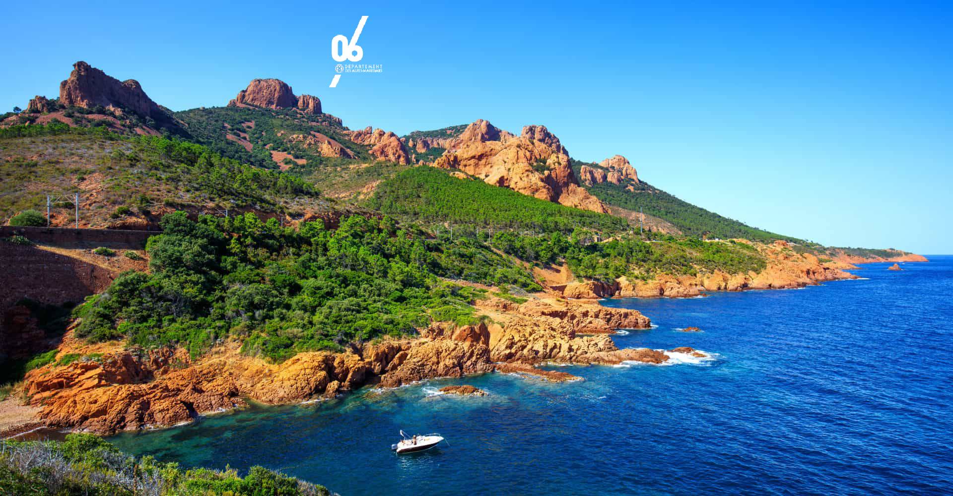
DÉPARTEMENT ALPES-MARITIMES
Portail 3D des territoires
Miroir du développement durable

