INTEROPERABILITY PLATFORM
Federate, visualize, cross and share big data

SEE AND INTERACT IN 3D AND REAL TIME
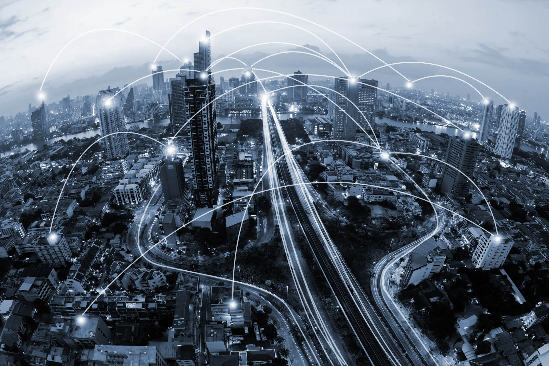
IGO offers Desktop and server services and software with a unique functional richness, locally or on the Internet, to display, federate and cross large amounts of data in real time simultaneously and immediately: IoT, lidar point clouds, GIS , BIM, heritage, webservices…:
A simple solution to implement, very easy to handle to interact in 3D on a territory, supervise, analyze, predict, simulate (rising water, solar potential, pollution, noise level, …), display in 4D (time slider), display 3D height maps of buildings, transform IoT or sensor data into decision support, aggregate webservices, spatial data, etc.
You can administer your data in 3D, enrich the digital model or territory and control their dissemination on the Internet.The development interface (API) makes it possible to develop collaborative applications or platforms, interfaces and displays or interactive 3D modules in business solutions but also webapps, portals or IaaS 3D services.IGO offers tailor-made developments and you can also develop complete autonomy with the API integrated into Terra Explorer.SkylineGlobe Server and Terra Explorer use standard formats, integrate into interconnected architectures and guarantee data security.In mobility on smartphones or tablets, the expertise and technologies mastered by IGO allow you to see wherever you are, to interact, question and report field information via ergonomic responsive design interfaces.

