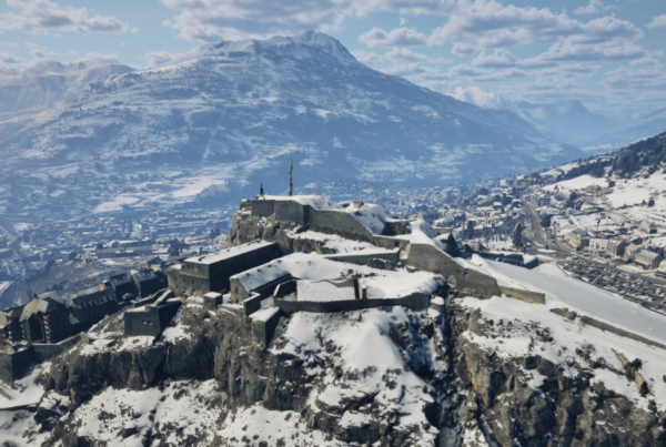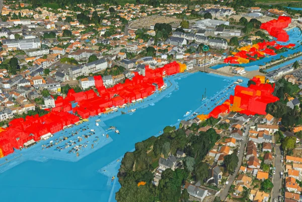
Communicating GIS data with 3D data
The city of Cannes has very precise airborne surveys, which were difficult to use effectively in its standard GIS. However, this data is essential for a better understanding of the challenges facing the area, and for making the right planning decisions.
The city of Cannes has therefore turned to IGO to set up an innovative, interoperable 3D decision-making and communication platform for technical departments, elected representatives and the general public.
Objectives: Communicate GIS data with 3D data and enable :
- administration, operation and distribution of the 3D urban model on Intra/Internet,
- management of a true “3D geographic database”, i.e. cross-referenced updates impacting 2D and 3D data, without double entry.
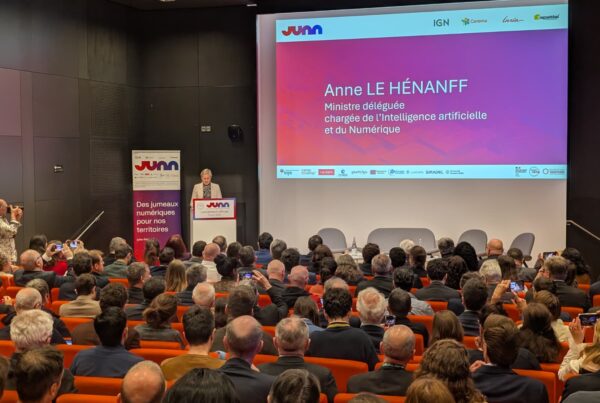
The strengths of IGO’s 3D solution, according to Aurélien LEROY of the GIS department
The GIS department of the city of Cannes is aware that 3D is part of a new approach to analyzing, understanding and creating the spaces of tomorrow. That’s why it turned to IGO to implement the Skyline software suite, enabling the department to manage the city’s entire 3D urban model, CityGML data and the distribution of the 3D model on the Web portal with “professional” tools for internal users.
The city’s current 2D GIS editor, a leader in the field of Geographic Information Systems, certainly offers powerful 3D spatial analysis tools.
However, the performance and suitability of the Skyline tools for the city’s needs were decisive in the choice of IGO solutions.
Support for the CityGML 3D urban model in the 3D City LifeCycle Management update cycle, interoperability with all 3D and GIS formats, and the functional richness of the software suite were essential.
The 3D City LifeCycle Management solution was developed to meet the city’s needs in terms of data administration and updating. IGO set up a process for integrating, updating or deleting buildings in CityGML format, using a unique key identifier. The process is based on the RhinoTerrain / Rhinocity tool, and complies with the CityGML standard (entity structuring, attribute model).